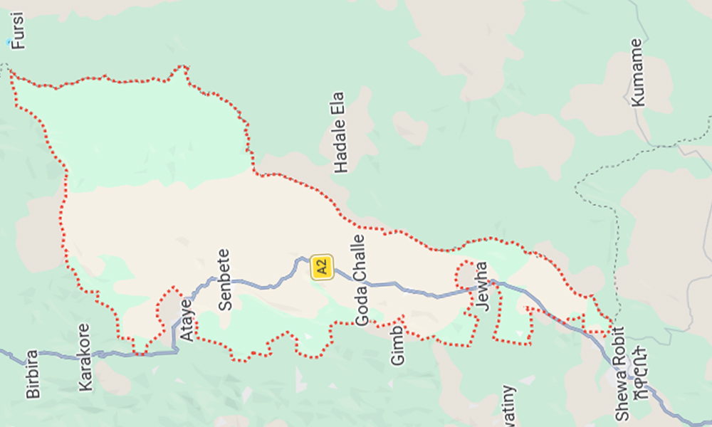
Location
Jille Timuga District is located in the
Oromo Nation Administration Zone of the Amhara Nation Regional State.
It is bordered to the north by Artuma Fursi, to the
south by Kewet District and Shewa Robit City Administration, to the west by
Efrata Gidim and Kewet District, and to the east by the Afar Region districts
of Hadele Ela and Semu Robi.
It is situated 265 km north of the country’s capital,
Addis Ababa, along the main highway leading to Dessie. It is also located 765
km east of the regional capital, Bahir Dar, and 63 km south of the zonal seat,
Kemise, along the main Dessie–Addis Ababa road.
Weather and Topography
Approximately 97% of the district’s climate is
classified as lowland (Kolla), while the remaining 3% is sub-tropical (Woina
Dega). The temperature ranges from a minimum of 24°C to a maximum of 33°C.
Climate data from the district indicate that the annual rainfall ranges between
2,000 and 2,600 mm.
The rainy seasons are summer (Kiremt) and spring
(Belg). The summer season lasts from June to September, while the spring season
extends from February to April.
The district’s elevation is estimated to range between
500 and 700 meters above sea level. The total surface area of the district is
88,256 hectares. Of this, 31,052 hectares consist of mountainous and hilly
terrain, while 57,204 hectares are plains. Within this landscape, approximately
12,000 hectares are used for farmland, and 25,280 hectares are covered by
forest.
Population
Based on projections from the 1997 E.C. census, the
district’s population is estimated at 133,352, comprising 65,873 men and 67,479
women. Approximately 88% of the residents are engaged in agriculture, while the
remaining 12% work in various other sectors.
© 2026 Administratoin of Jille Timuga District | Developed by Nuru Ahmed